3D Earth
5th and 6th grade (10-12 years old)
In this Experience, join us to explore Earth's beautiful oceans, seas, rivers, mountains and valleys from space.
Material to prepare before coming to ESAC:
-
Some experience with 3D and 2D terrain maps. Identification of different parts of a river and their characteristics.
-
Videos
Material that will be used at ESAC: Scientific Case.
For thousands of years, humankind has tried to understand the Universe around them. Watching the night sky, people around the world created pictures in the stars and told stories about what they represented.
As more is learnt about the Universe we find that "homogeneity" is everywhere. Therefore, studying other stars and planets will help us to improve knowledge of our origin and evolution.

Credit: Image courtesy of Beth Scupham; source image: Flickr

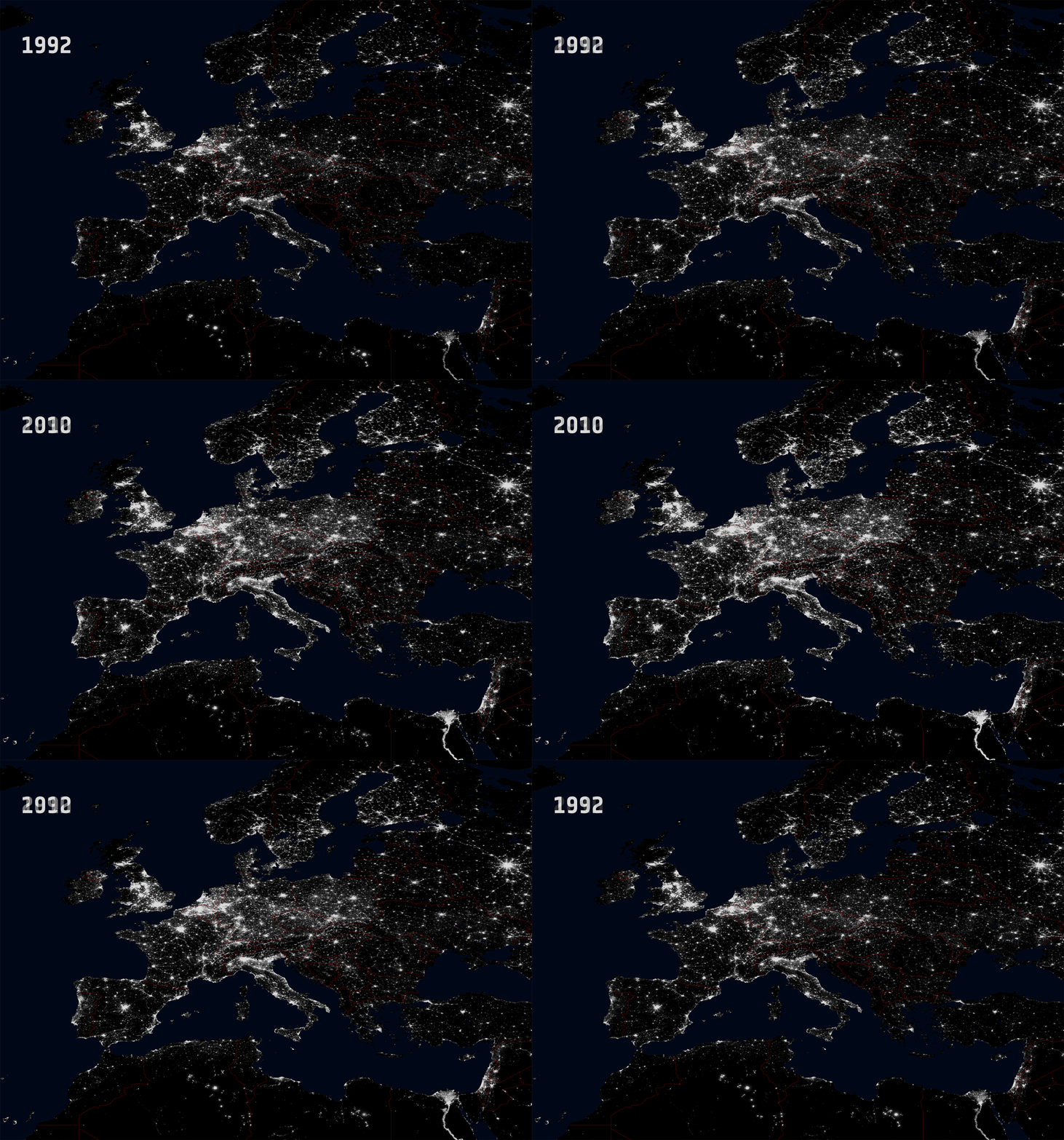
Comparison of light pollution in Europe between 1992 and 2010. Link
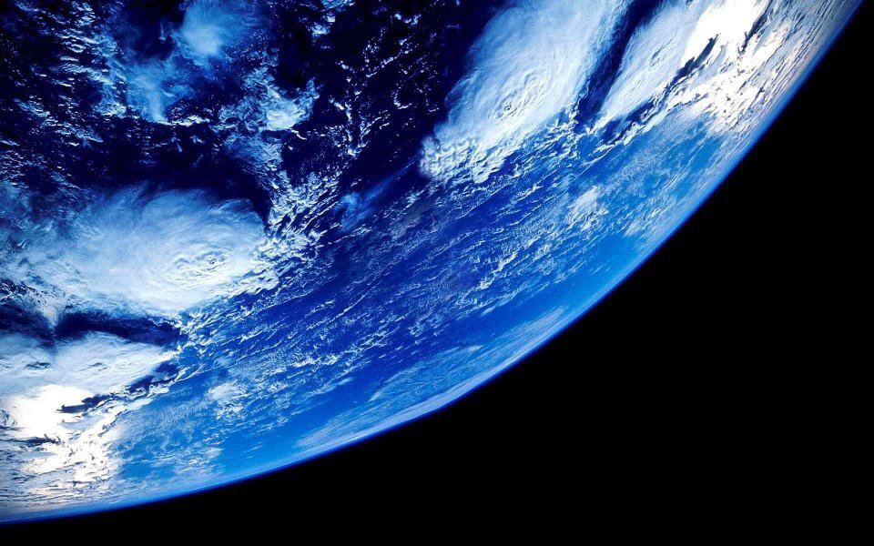
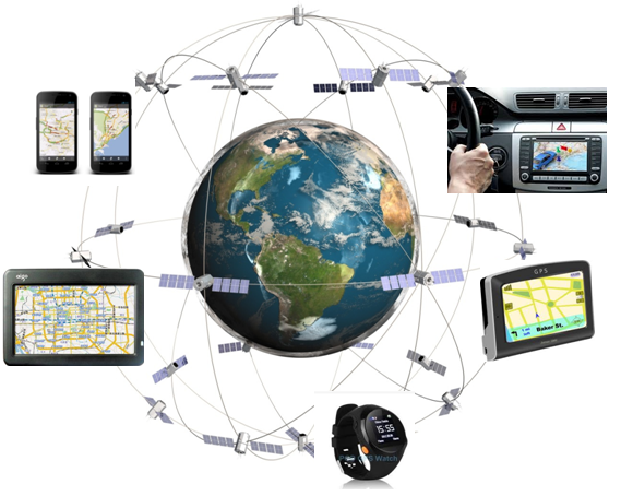
The evolution of our planet has a huge impact on us. For that reason, we send satellites into space to look down at the Earth, to study the weather, variations in the oceans, animal migration, deserts, earthquakes, and much more. There are also satellites for communication and navigation.

The Galileo constellation of satellites. Credits: http://galileo-nav.com/

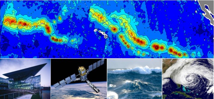
SMOS satellite. Credit: Image_flyerbot.png @lfremer
This type of environmental monitoring satellites are changing the way in which we manage and understand the effects of climate change. In this scientific experience the students will learn to understand some images of the Sentinel Missions, which are framed in the Galileo Project. To this purpose, in addition to having real images, we will have an augmented reality tool where the contour lines will be seen clearly and easily, which will help the participants to go a little deeper into the world of topography.
-
This Experience could be complemented with the following activity at El Planetario de Madrid: Abuela Tierra