Topographic Study with Augmented Reality - Jesús Maestro School
18/May/201780 Students 2ºESO
On the 18th of May, 80 students from Jesus Maestre high school come to ESAC. The goal of their visit was to learn more about the Earth topographic studies and from other planets.
The CESAR team welcome the first group of 29 students and we answer their different questions: “What it is at the center of our galaxy?”, “How many satellites orbit the Earth?” or “How much time it takes to reach Mars?” are some examples of the always present curiosity they have.
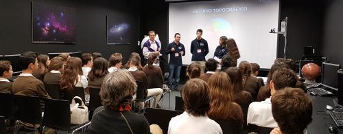
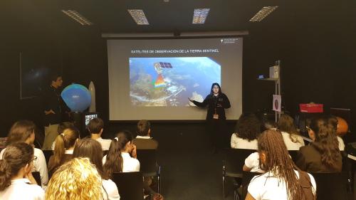
After the questions, we exposed the scientific case they would work on. The students were divided in 4 different groups which rotated around the different cases: they learnt how to build a topographic map and interpreted it, studying for example the best location to build a dam; they also analyzed the different heights present on the Earth and, discovered the little similarities with Mars.
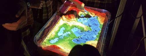
The great surprise was an augmented reality experience, this consisted on a big sandbox in which level line were projected in real time. This allow the students to create mountains, lakes, volcanos or even rivers in situ.
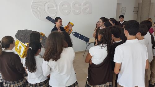
Once the scientific case was finished, we made a tour visiting the scale models of the most representative missions ESA had accomplished. The students saw missions like Rosetta, ISO, SOHO or Herschel and didn0t stop making question.
After this group, another one composed by 51 students came and we repeat the experience with the same result: students full of curiosity and looking for repeating.
We hope to see you soon again!
CESAR Team – Nubalo Studios (Educational division)
More scientific case photos
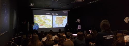
Introduction to topography
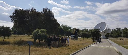
Visit to the satellites models
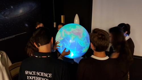
Working in a scientific case with the 360 degrees sphere
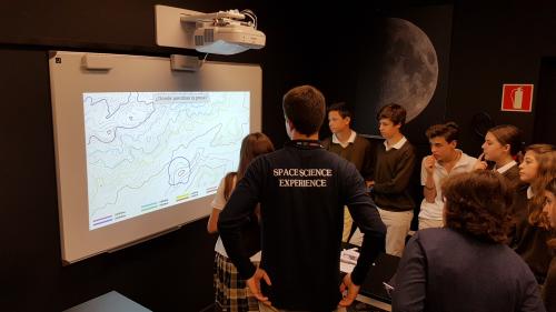
Working in the interactive projector
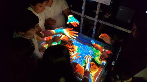
In the sandbox the students can represent different topographies
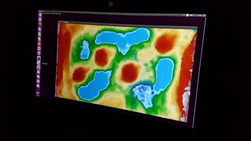
They can see the result in the screen